About Crowdy Head
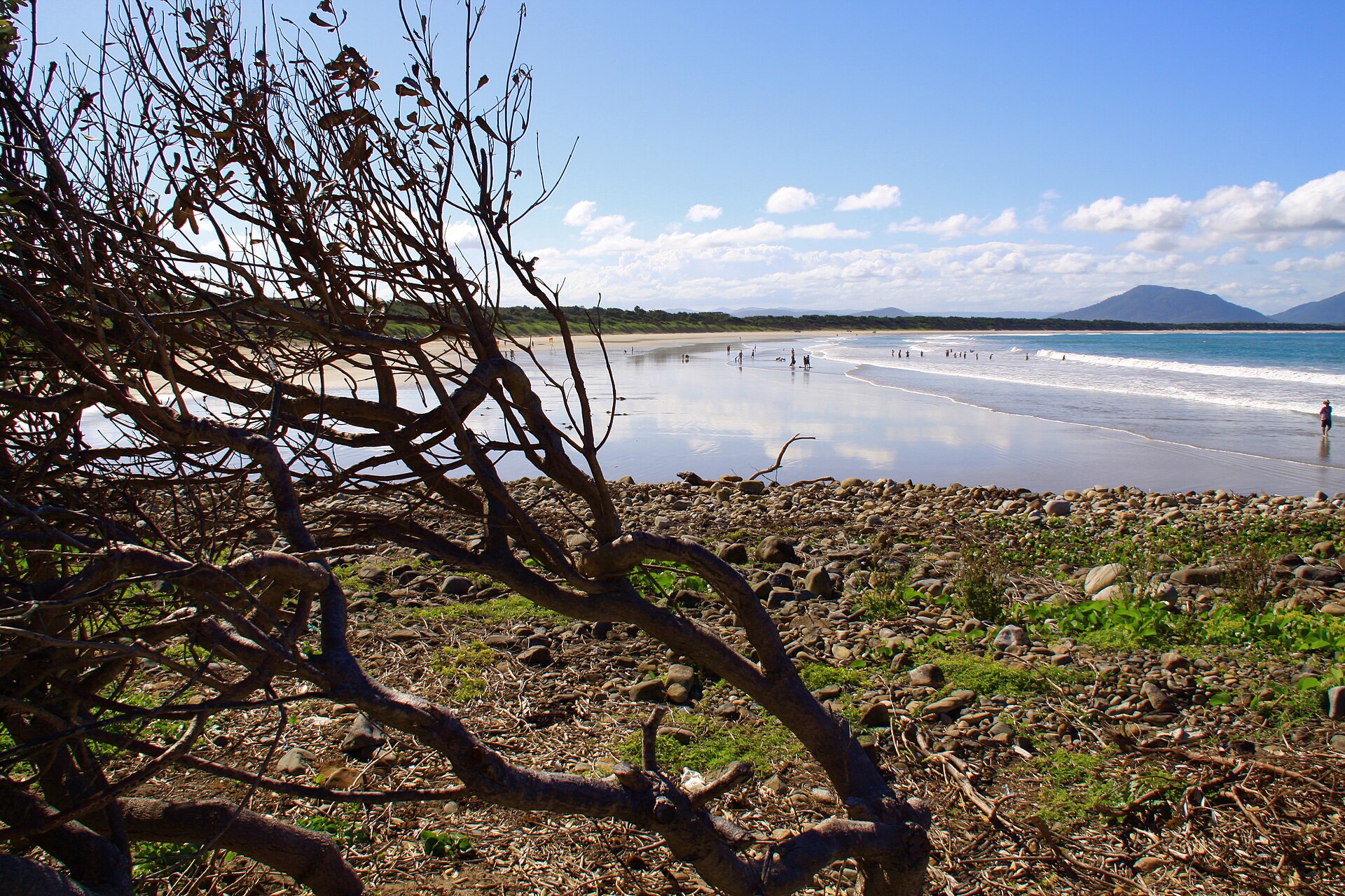
Crowdy Head is a headland on the coast of New South Wales, 7 km from Harrington, between Forster and Port Macquarie. The head is mostly cleared, and it was quarried between 1895 and 1901 for the Manning River training wall.
It is the site of Crowdy Head Light, a 7.3 m (24 ft) lighthouse built in 1878, and has a small harbour with a dedicated Marine Rescue NSW rescue boat. It is also home to Crowdy Head Surf Life Saving Club.
How Crowdy Head got here
A few dates and facts that shaped the place.
1878
Crowdy Head Light is built.
1895–1901
The head is quarried to build the training wall at the mouth of the Manning River.
Today
A small harbour with a Marine Rescue NSW boat, and a surf life saving club.
Where is Crowdy Head?
Crowdy Head is in the MidCoast Council area on the Mid North Coast of New South Wales.
Nearby towns with hubs on OurHub, with straight-line distances: Harrington (7 km south-west), Manning Point (10 km south-west), Moorland (12 km north-west), Coopernook (13 km west).
What the Crowdy Head directory lists
Schools and learning: Crowdy Head Public School.
Write something…
Get in touch
A question, something out of date, a group to link, or the keys to this hub: send it here and someone at OurHub will get back to you.
Photo: “Crowdy Head Beach” by Rob Freijs (CC BY-SA 3.0), via Wikimedia Commons. Town facts: Wikipedia (CC BY-SA 4.0), which cites the Australian Bureau of Statistics census. Straight-line distances are worked out from the hub’s coordinates. Directory locations © OpenStreetMap contributors (ODbL).